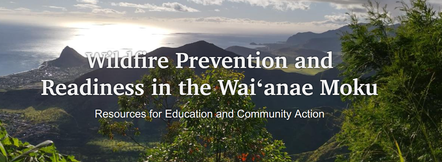
Description: This interactive ArcGIS StoryMap explores wildfire risk, prevention, and community readiness specifically within the Waiʻanae Moku on Oʻahu. It introduces the cultural and agricultural history of Waiʻanae, explains the dangers and effects of wildfires, presents stories from community members, and connects users with practical wildfire-preparedness resources.
The page includes the experience of retired firefighter and farmer Shermaih “Bulla” Iaea, whose agricultural property was affected by the 2018 Waiʻanae Agriculture Park wildfire. His story demonstrates how land management and community action can help reduce wildfire risk.