Forests and Farming Department of Forestry and Wildlife
Resource Title: Forests and Farming | Department of Forestry and Wildlife
Organization: Department of Land and Natural Resources
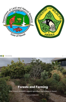
Description:

This interactive ArcGIS StoryMap examines how DLNR’s Forestry & Wildlife Division supports local Hawaiian farmers through agroforestry and diversified agriculture programs. It blends maps, photos, and narrative to illustrate ways that forest management, soil restoration, and native species cultivation benefit community agriculture and cultural food systems.

Target Audience: All
Instructional Roles: Enrichment, Hook activity, Main lesson
Environment: Online only (e.g. interactive map), Self-guided
Content Type: Interactive (Online), STEM investigation
Type Of Engagement: Investigate, Play / Explore
Format: ArcGIS, Webpage
Activity:
  • Explore interactive maps to identify plantation zones, agroforestry sites, or restoration plots.

  • Investigate co-benefits: students can analyze how agroforestry projects support watershed health, native habitat, and food production.

  • Create adaptation ideas: learners propose locally appropriate agroforestry designs for their ʻāina, combining cultural crops and native trees.

  • Reflect and discuss the role of forests in supporting resilient community farms, cultural practices, and ecological stewardship.

Topics Covered:
  • Agroforestry systems and diversified agriculture

  • Integration of forest conservation and sustainable food systems

  • Soil restoration, watershed function, and ecosystem resiliency

  • Cultural agriculture (e.g., kalo, ʻulu, medicinal plants under canopy)

  • Spatial storytelling via maps showing project outcomes and landscape change

  • Real-world application of land management practices

Have a question, found an issue, or just want to connect?
Reach out to us anytime. We're here to help.