Maui Nui Trails & Access Division of Forestry and Wildlife Outdoor Recreation
Resource Title: Maui Nui Trails & Access | Division of Forestry and Wildlife: Outdoor Recreation
Organization: Department of Land and Natural Resources
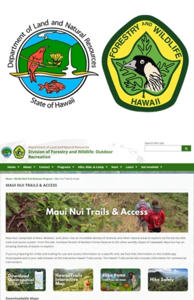
Description:

Nā Ala Hele is the official State of Hawaiʻi Trail & Access Program, and the Maui Nui section covers trails across Maui, Molokaʻi, and Lānaʻi. The interactive web map displays public forest reserves, DOFAW campsites, and officially maintained trails. Users can select trails to view details like use rules, permit needs, and current hazards or closures via the Hawaiitrails website or the Outerspatial mobile app.

Target Audience: All
Instructional Roles: Planning
Environment: Self-guided
Content Type: Trails & Access Information
Type Of Engagement: Investigate, Observe
Format: Webpage
Activity:
  • Trail planning exercise: Choose a trail on Maui (e.g., Haleakalā Bridle Trail, Hoapili Trail, Kanahā Pond access), examine its length, trail type, elevation gain, and access permissions.

  • Interactive map use: Learn to navigate the DLNR map and Outerspatial app for route info, campsite locations, and real‑time updates.

  • Safety & ethics (Hike Pono): Teach trail etiquette, honoring cultural heritage, respecting habitat, and following safety guidelines like BYO water, trail markers, and no off-trail travel.

  • Field trip execution: Have students simulate or conduct a hike—planning route, gear, ecological observations, and trail stewardship exercises on site.

Topics Covered:
  • Map literacy & GIS awareness: contour reading, trail overlays, and digital navigation tools

  • Island biomes & ecology: forest reserves, lava flows, native habitat zones, and watershed functions

  • Cultural geography: historic trails like Haleakalā Bridle Trail and Hoapili King’s Highway

  • Outdoor science & ethics: Leave No Trace, Pono hiking behavior, species protection, and permit protocols

Have a question, found an issue, or just want to connect?
Reach out to us anytime. We're here to help.