
Location & Event: Waikōloa area mauka of Highway 190, near Pū‘u Lani Subdivision
Context: A week-long, large-scale wildfire that burned approximately 26.5 square miles, ultimately reaching 90% containment
Production: Features footage from DLNR’s Forestry & Wildlife division, including aerial drops, ground crew operations, and strategic command planning
Purpose: Offers an immersive perspective on wildfire suppression—from frontline tactics to resource coordination
🌱 Fire Management Training: Real-world example for curriculum in forestry, conservation, and wildfire suppression techniques
🌎 Climate Resilience Lessons: Sparks dialogue about climate-driven fire risks, ecosystem restoration, and land stewardship
🏫 STEM & Community Awareness: Ideal for classroom screenings, public outreach, or fire-safety workshops geared toward middle school, high school, and community groups
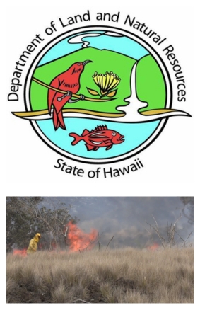
Emergency Coordination: Demonstrates unified command among DOFAW, Hawaiʻi Fire Department, Pōhakuloa Training Area, and National Park Service
Tactical Response: Highlights the use of bulldozers, backfires, and aerial support (helicopters with 80–1,000 gallon buckets)
Operational Insights: Shows morning/evening overflights with GPS mapping, fire behavior monitoring, and asset deployment
Environmental Impact: Emphasizes challenges with invasive fountain grass, steep terrain, and risk of rekindling — all heightened by drought and wind conditions